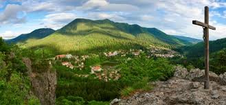
Hiking around Băile Tușnad
The town lies at the meeting point of three mountain ranges — the volcanic craters of the Ciomatu (Csomád) Mountains, the slopes of the
Harghita Mountains and the Bodoc Mountains offer trails for every age and every difficulty level.
At the gateway of the Carpathians — where three mountain ranges meet
Owing to its unique geographical setting, Băile Tușnad lies at the meeting point of three mountain ranges: to the north the Harghita Mountains, to the south the volcanic craters of the Ciomatu (Csomád) Mountains, and to the east the Bodoc Mountains. Thanks to this, the town offers well-marked, safely walkable routes at every difficulty level.
🚶 Short walks starting from the town (30 minutes – 2 hours) lead to the viewpoints of Vártető, Apor Bastion, Greater Csomád and Falcon Rock (Sólyomkő). Half-day hikes (3-4 hours) reach the Saint Anne Lake mountain hut or the Cecele peak. For a full day's challenge (5-6 hours), the Tó-éle ridge hike to Bixad is recommended.
🏛️ The trails follow standard markings: red triangle, red cross, blue stripe, blue cross, blue dot, red dot, blue triangle. The paths are passable year-round, though appropriate winter gear is required in the cold season.
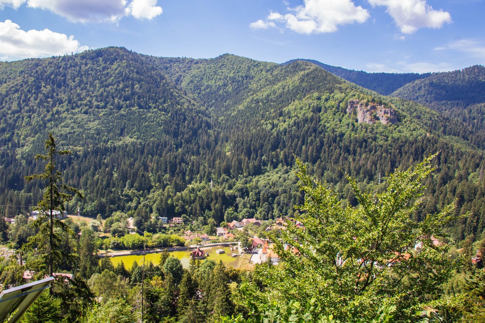 The Apor Bastion viewpoint · local source
Active bear territory!
🐻 The forests around Băile Tușnad are among the most densely bear-inhabited areas in Europe. On the trails of Greater Csomád and the Ciomatu Mountains, encounters with brown bears are particularly likely.
📋 Always follow these rules:
🚶 Never hike alone! Always set off in a group of at least 2-3 people.
🗣️ Don't hike in silence! Talk, sing — the noise keeps bears at a distance.
🧴 Carry bear spray with you! Make sure you know how to use it.
⏰ Set off early in the morning and finish before dusk. Bears are most active at dawn and dusk.
🚫 Never feed bears — neither in town nor in the forest! This is against the law.
8 recommended hiking trails
The trails below are presented grouped by difficulty level — from the shortest walks to full-day ridge hikes.
From easy walks to half-day routes
Băile Tușnad – Vártető
A short, family-friendly walk from the town to a viewpoint. No special gear required.
Băile Tușnad – Greater Csomád
🐻 Warning: the area most frequently visited by bears. Bear spray recommended!
Băile Tușnad – Apor Bastion – Băile Tușnad
The town’s shortest and most popular walk. Nearby also starts the path to the Mikes Spring and to Falcon Rock.
Băile Tușnad – Lake Ciucaș – Falcon Rock
One of the town’s most scenic panoramic hikes — passing Lake Ciucaș and climbing to the 824 m summit of Falcon Rock.
Longer hikes — from half a day to a full day
Határ guesthouse – Saint Anne Lake mountain hut
A shorter ascent to the Saint Anne Lake mountain hut — low difficulty, also suitable for families.
Băile Tușnad – Saint Anne Lake mountain hut
⛰️ Tip: the hut sits on the rim of the crater. From here you can walk down to Saint Anne Lake within minutes or cross over to the entrance of the Mohoș Peat Bog.
Saint Anne Lake – Cecele
⛰️ Tip: from the Cecele summit, you get an outstanding view of the Olt valley and the distant Háromszék basin.
Băile Tușnad – Saint Anne hut – Tó-éle ridge – Bixad
⛰️ Tip: once down in Bixad, it is worth visiting the ruins of Falcon Rock Castle as well, sitting on a volcanic cone near the village.
The trails and viewpoints
The map below shows the most important viewpoints and mountain huts around Băile Tușnad. Yellow marker = the town, green markers = nature spots, blue markers = mountain huts.
Source: local tourism database | Map: OpenStreetMap
What to bring along?
Hiking boots — mandatory!
Ankle-high, waterproof hiking boots with a profiled sole. Trainers are not suitable for mountain terrain.
Layered clothing
Mountain weather changes quickly. Waterproof jacket, warm pullover, quick-drying T-shirt.
Water and energy supplies
At least 1.5-2 litres of water per person. Muesli bar, nuts, fruit.
Bear spray
Particularly recommended on the Csomád and Harghita trails. Available from pharmacies and hunting shops.
Phone + power bank
A charged phone with GPS function. Emergency call: 112 (works across Europe).
Mini first-aid kit
Plasters, bandage, tick remover, painkillers. For winter hikes: anti-frostbite ointment.
Useful info
Starting points
- Băile Tușnad town centre
- Lake Ciucaș car park
- Határ guesthouse (T13)
- Saint Anne Lake mountain hut
When
- Walkable year-round
- Most beautiful: May – October
- Winter hikes need special gear
- Dawn/dusk: avoid because of bears
Tips
- Set off early in the morning
- Always tell someone your route
- Stick to the markings!
- Don't litter — pack it out!
Emergency call
- 112 — single EU emergency number
- Salvamont (mountain rescue)
- Give your exact GPS coordinates
- Always leave a contact phone number