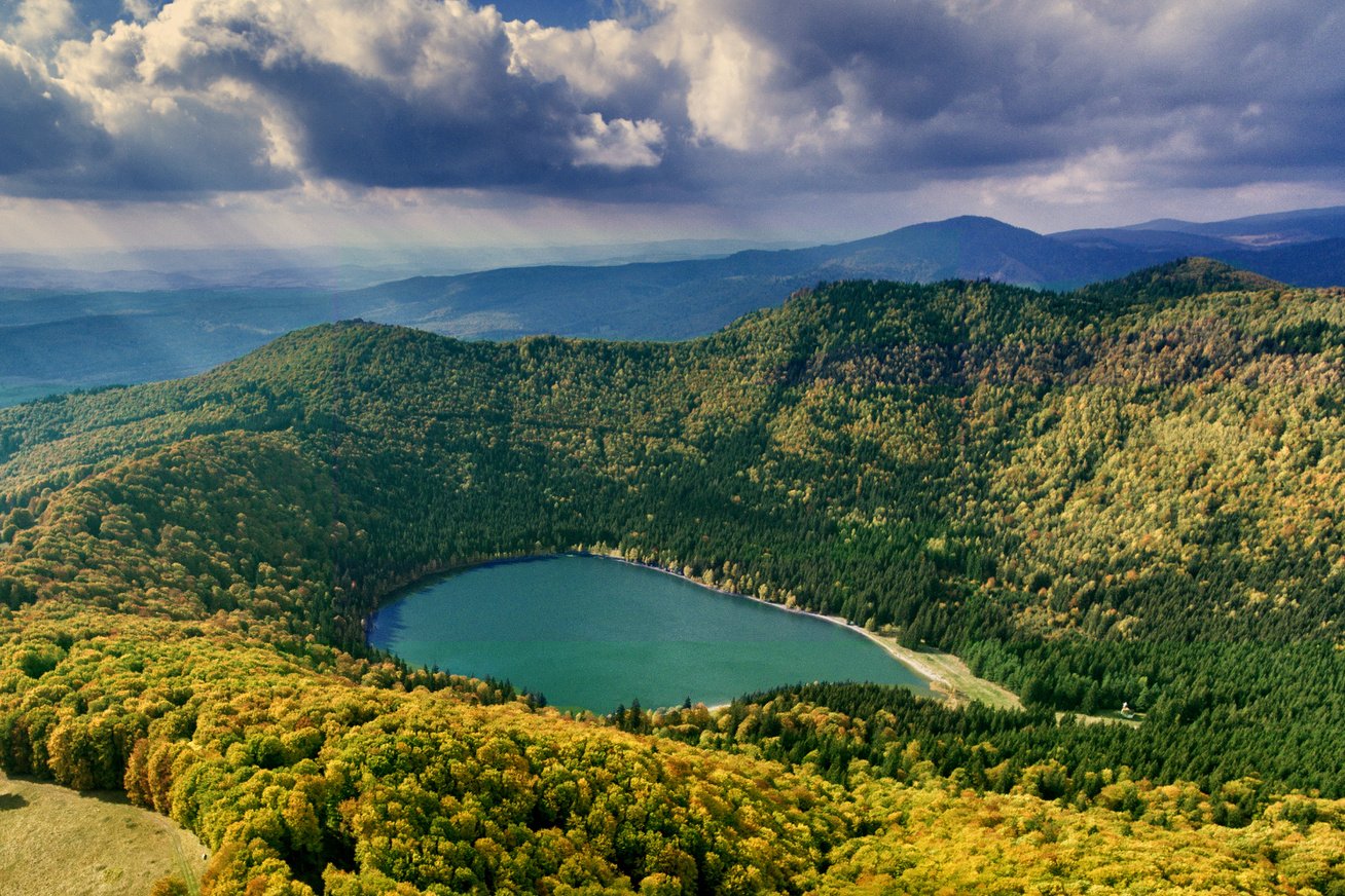
Saint Anne Lake
The only volcanic crater lake in Central and Eastern Europe
at 945 metres above sea level, in the heart of Harghita County
Source: medveles.hu
Europe's unique crater lake
Saint Anne Lake (Szent Anna-tó) is the only volcanic crater lake in Central and Eastern Europe, and in Romania. Lying at 945–946 metres above sea level, it covers roughly 20–22 hectares; it is 620 metres long, 460 metres wide, and currently has a maximum depth of 7 metres.
The lake occupies the younger crater of the Ciomatu (Csomád) Mountains — the depression of the youngest volcanic formation in the Carpathians. Volcanic activity during the Pliocene and Pleistocene shaped the crater system whose more recent basin now holds the lake.
The lake and its surroundings form part of the Natura 2000 network, so they enjoy enhanced ecological protection.
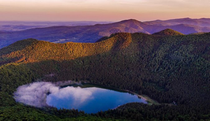
A unique closed water system
The lake has no surface or subsurface water supply whatsoever — its water comes solely from precipitation (rain and snowmelt). This is a hydrological phenomenon unique in Europe.
Water chemistry
The mineral content is extremely low — the water quality is close to that of distilled water. Because of the nutrient-poor environment, the flora and fauna are correspondingly modest.
Wildlife
The original fauna includes the grass snake, the great crested newt and the water stick insect (Ranatra linearis). The brown bullhead now living in the lake is the result of an artificial introduction.
Weather forecaster
Local lore says the lake “foretells” the weather: when a sulphurous smell rises from cracks in the hillside, a storm is on the way — post-volcanic gases react to changes in atmospheric pressure.
The lake's gradual filling-in
One of the greatest challenges facing the lake is the natural process of silting (paludification), particularly visible along the northern and western shores.
As silting continues, the lake's future is at risk — in time it may turn into a peat marsh resembling its neighbour, the Mohoș Peat Bog.
The lake through the seasons
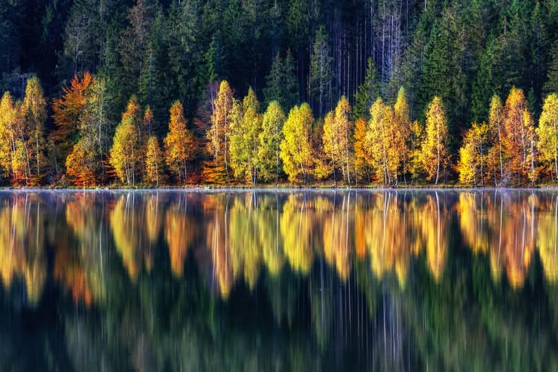
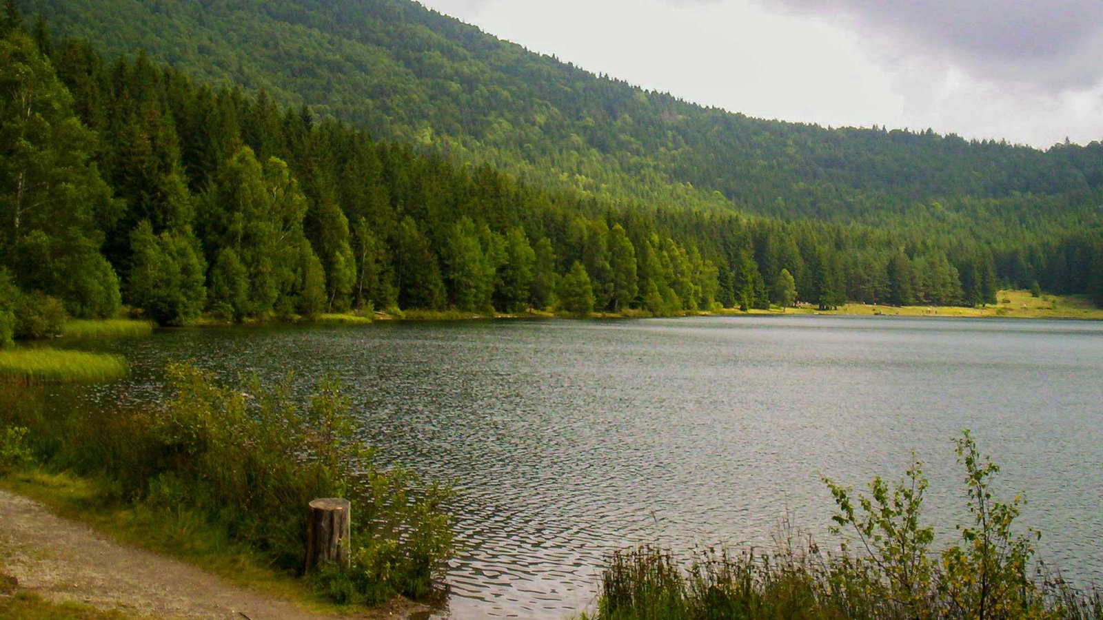
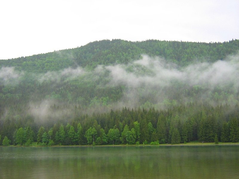
The photos show the lake in different seasons. Source: Wikimedia Commons.
Before you set off
Permitted activities
- Walking around the lake
- Rowing on the lake
- Nature photography
- Picnicking in designated areas
Prohibited activities
- Swimming is strictly forbidden — sunscreen and organic substances would destroy the lake
- Littering
- Loud music
- Feeding wild animals
Getting there
- From Băile Tușnad: ~8 km
- From Bálványos Resort: ~3 km
- Parking: paid, limited spaces
- A hiking trail is also available
Bear safety
- Active brown bear habitat
- Avoid visiting after dark
- Do not leave food out
- Make your presence known (noise, movement)
Did you know?
No river or stream flows into the lake — it is fed solely by rain and snowmelt. A phenomenon unique in Europe.
Over the past 150 years, the lake's depth has dropped from 12 to 7 metres due to natural silting.
If you can smell sulphur in the air, a storm is coming — post-volcanic gases react to changes in atmospheric pressure.
The neighbouring Mohoș Peat Bog formed in the older crater of the Ciomatu — once it, too, was a lake just like Saint Anne.